
The Croix de la Montagne de Bluye walk officially starts in St-Léger-du-Ventoux, but we parked our car on a beautiful late summer day where the walk crosses the D40. This is less than half an hour away by car from Le Rêve Provençal. Of course, you can also park the car in St-Léger-du-Ventoux. Then count on an extra 10 minutes drive.
Sportive walk
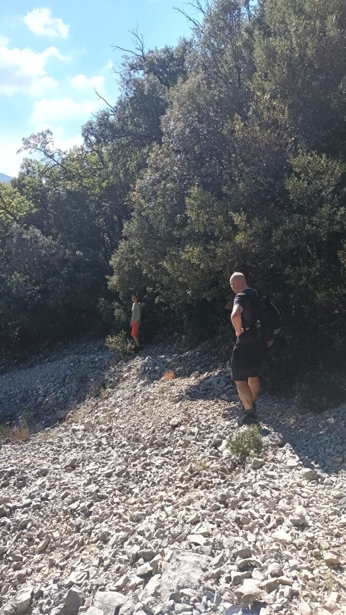
For those who want to do the Croix de la Montagne de Bluye walk: this is a sportive walk. Not only because of the gradient, but also because of the surface that regularly consists of loose stones and because of the very steep descent. High hiking boots are recommended and walking poles can come in handy. By the way, the amazing view on the ridge is more than worth these efforts!
Characteristics of the Croix de la Montagne de Bluye walk
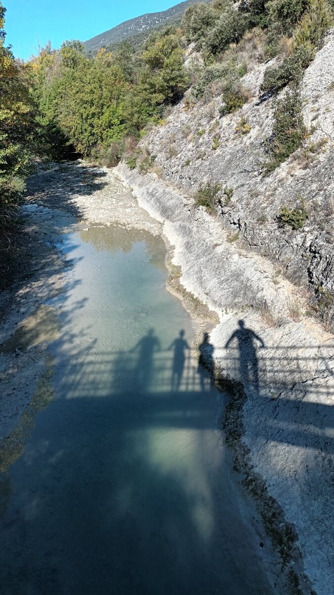
The walk is 17.5 km and involves a height difference of almost 860 metres. The highest point is at 1,060 metres above sea level. The lowest point is at 370 metres and is where you cross the Toulourenc river with a bridge. Yellow lines on trees indicate the route.
An easy start
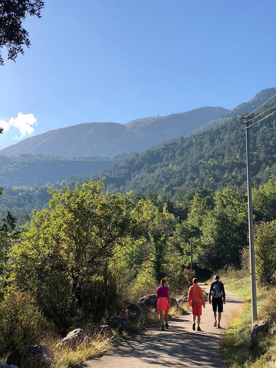
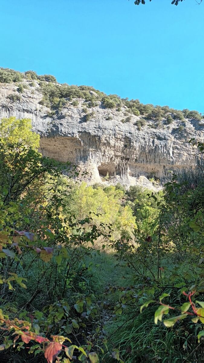
The hike starts with an easy descent down to the Toulourenc River. Already there are beautiful views and impressive rock formations. Until St-Léger-du-Ventoux, the walk along the beautiful Toulourenc river is lovely. In St-Léger-du-Ventoux, the road has to be crossed and the climb begins.
From St-Léger-du-Ventoux to the Col de Chaussène, you are also on the long-distance hiking route GR91. This is marked with a red and white striping. Now don’t think that this col is the highest point. On the col, you turn left and the path narrows and you the climb continues. Regularly, the path crosses what the French call a talweg. These are the remnants of a rock slide, over which you must make your way. Above all, keep carefully following the yellow stripes of the trail.
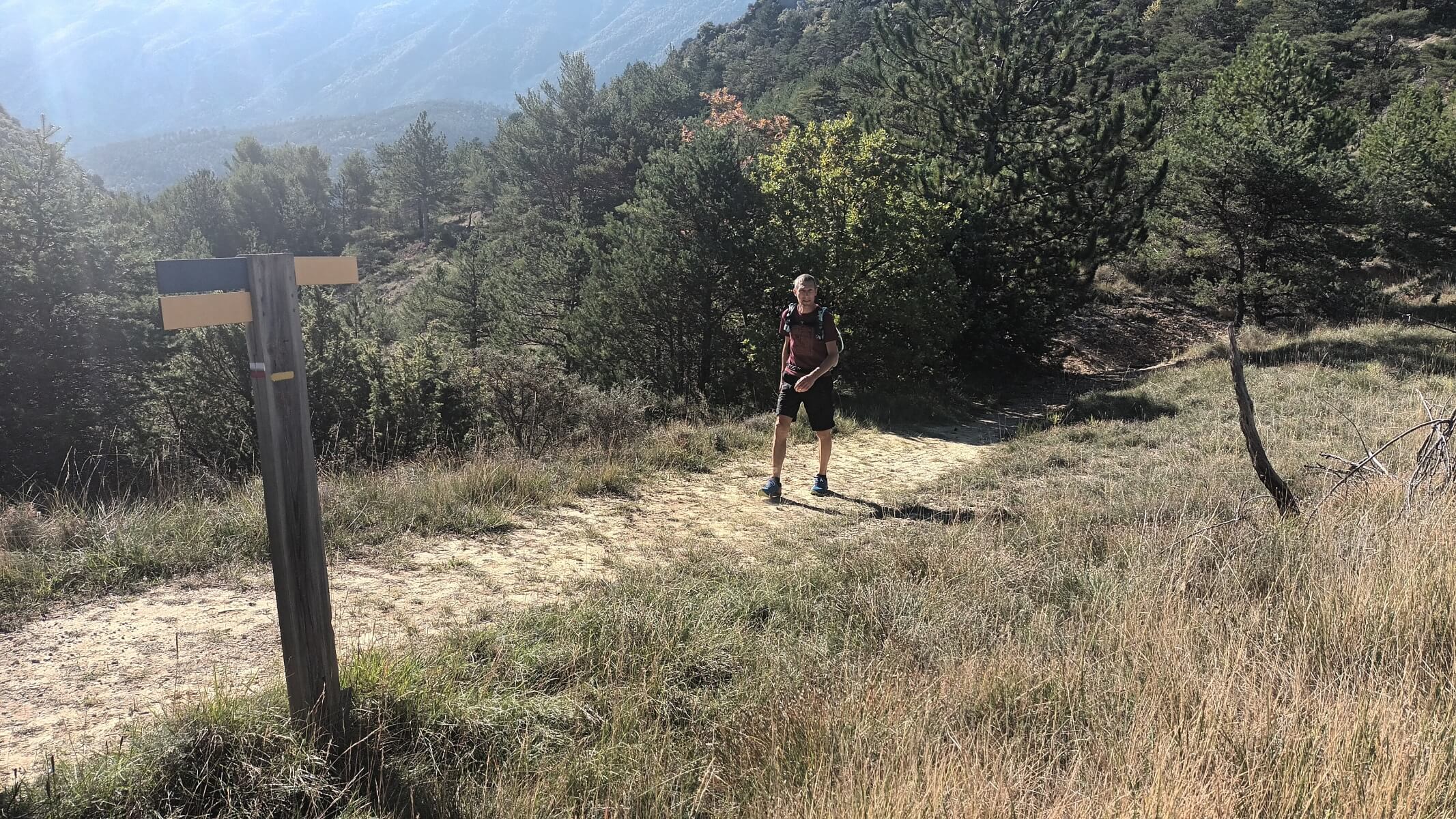
Up and down the mountain ridge
Before you get to the summit where the Croix de la Montagne de Bluye (a cross) stands, you have already had several summits. You walk along the mountain ridge and have great views of Mont Ventoux on one side and the Baronnies area on the other. All this is interspersed with passages through the forest. When we walked this hike in early October, there were lots of mushrooms in this area. Once you arrive at the cross, you have a fantastic view. You can even see Mirabel-aux-Baronnies!
Pay attention during the descent
When you finally start descending, you will have to pay close attention. The beginning in particular is very steep. And after a dry summer, the ground is rock hard and thus offers little grip. Also follow the yellow stripes carefully. The path remains narrow almost to the junction with the road where our car was parked.
Also read the blog about the Hameau de Géants walk from our neighbouring village of Piégon or the long but easy Col la Vôte walk from Montaulieu.
Doing the Croix de la Montagne de Bluye walk yourself
The Croix de la Montagne de Bluye walk is signposted by yellow stripes, often painted on trees. We did deviate slightly from that official route at the hamlet of St-Léger-du-Ventoux, by actually walking through the hamlet. If you have already drunk a lot during this easy first stretch, you can refill your water bottle in the village. You can find the Croix de la Montagne de Bluye walk and its GPX track on AllTrails.
By the way, in our gîte you will find many more ideas for walks in the area.


0 Comments